BLOG – UNDER THE HOOD

May 17, 2022
Alberta’s Best Road Trips: 10 Scenic Drives To Take Your Ride On This Summer
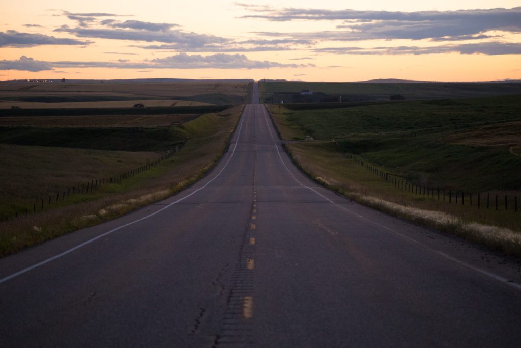
Summer is almost here! Time to hit the highway to enjoy Alberta’s best road trips.
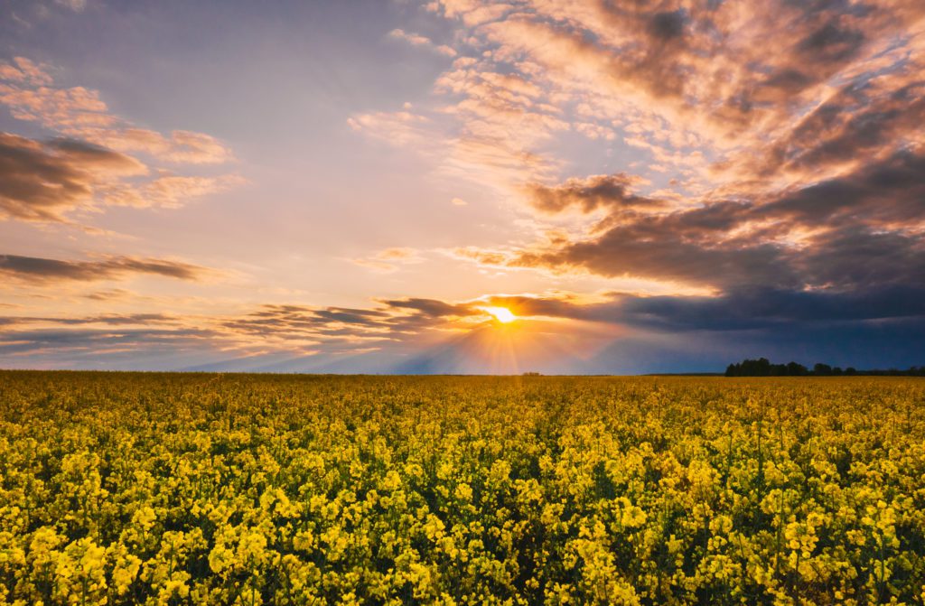
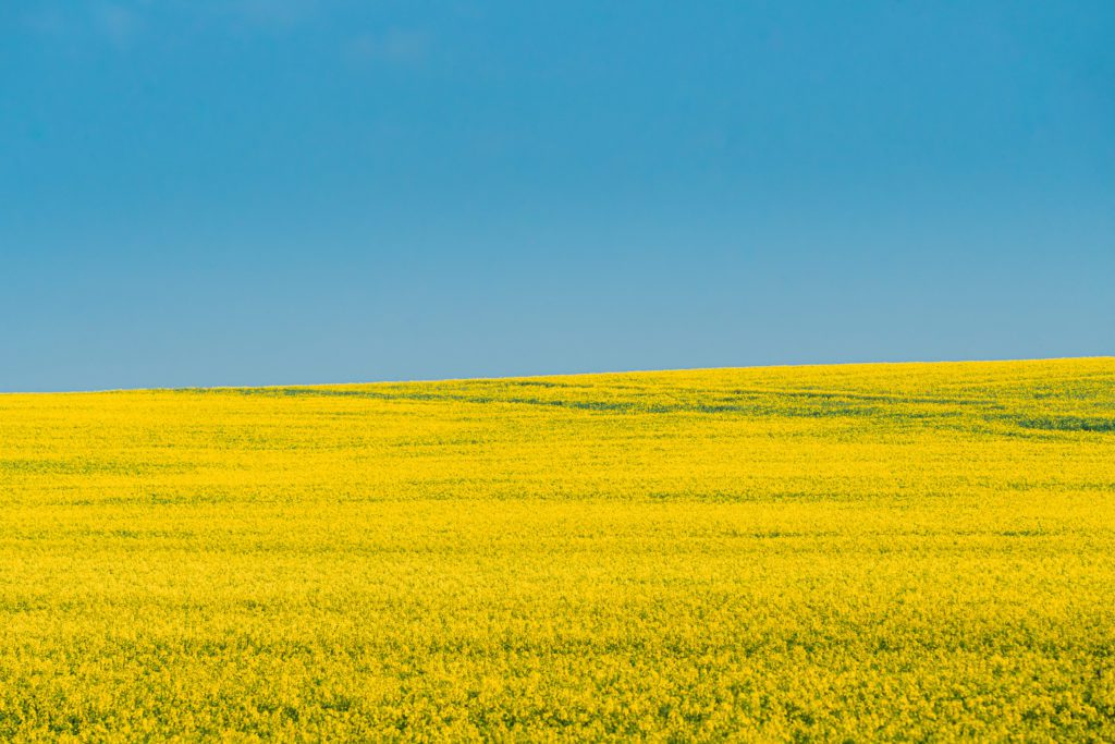
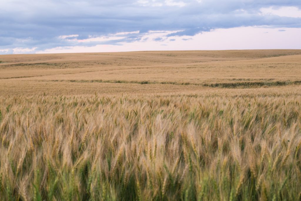
From moon-like dessert landscapes to sprawling canola-filled fields to mountain-flanked highways that seem to reach the heavens, Alberta offers enough scenic routes that will keep you cruising all season long.
Whether you’re a mobile photographer looking for your next Instagram-worthy shot or a driving aficionado hunting for photo-worthy car stops, our list of Alberta’s best road trips is sure you offer you enough inspiration.
Here are 10 of Alberta’s most scenic drives to take this summer.
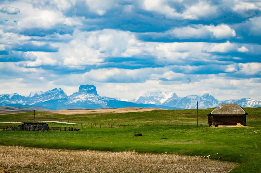
The Cowboy Trail
Start point: Mayerthorpe, AB, a town located ~136 km northeast of Edmonton
End point: Lundbruck, AB, south of Calgary (via Cardston, AB, to Lundbreck’s northeast)
Distance: 700 km, paved
Time: 2-3 days
Suggested road stops:
- Rocky Mountain House National Historic Site
- Chain Lake Provincial Park
- Cochrane, AB – a modern take on an old western town
- Bragg Creek, AB – a charming, rustic hamlet southwest of Calgary
- The Bar U Ranch National Historic Site
- Eau Claire Distillery
- Bluerock Gallery
- Marv’s Classic Soda Shop and Diner
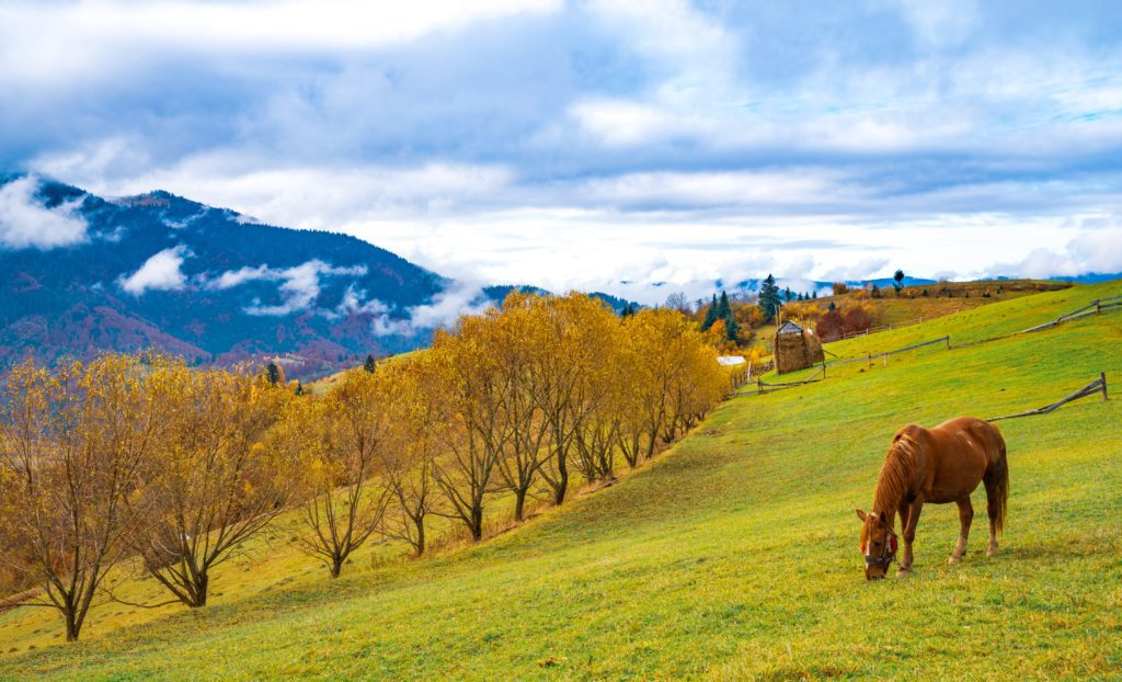
The Alberta foothills is where the Canadian prairies meet the Canadian Rockies. Along this strip of landscape lies The Cowboy Trail, a route known for its ecologically diverse blend of grasslands and mixed forest, picturesque lookout points, and stunning vistas.
The scenic route along Highway 22 is Alberta’s answer to the American Old West. A mix of working ranches, historic sites, guest houses, and horseback trails, the Cowboy Trail will transport you back to a time where people worked the land and the pace of life was slower.
David Thompson Highway
Start point: Saskatchewan River Crossing, AB
End point: Rocky Mountain House, AB
Distance: 318 km for the entire David Thompson Highway (Hwy 11), less than half of that if you end your trip in Rocky Mountain House
Timing: 1 day
Suggested stops:
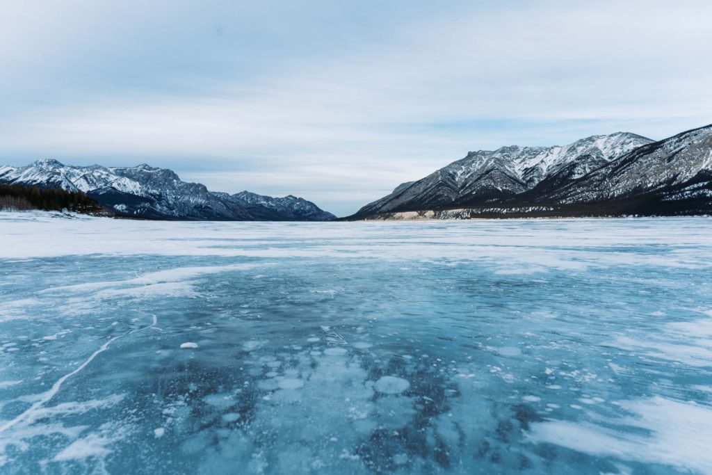
- Abraham Lake
- Cline River
- Kootenay Plains Ecological Reserve & Heritage Site
- The Grandview Stage
- Crimson Lake
- Rocky Mountain House National Historic Site
This portion of the Cowboy Trail links up to another popular route well mention later, the Icefields Parkway.
Highwood Pass
Start & end points:
- From the west: When driving from Banff or Canmore, the pass begins at the Kananaskis exit at the junction of Highway 40 and the Trans-Canada Highway.
- From the east: The pass begins at the village of Longview, AB, at the Highway 22/40 junction.
Distance:
- 148 km total one direction, paved
- Or, travel—even by bike when the highway is closed to traffic!—from the north gate at King Creek to the south gate at Highwood Junction, a 108 km round trip
Time: Dedicate a full day to driving, or cycling the pass if coming from Calgary.
Suggested road stops:
- Kananaskis Village
- Peter Lougheed Park Discovery and Information Centre
- Highwood Meadows – at the summit
- Longview Steakhouse – a world-famous steakhouse
The scenic Highwood Pass—the highest paved road in Canada—climbs 2,206 metres above sea level. Because of its elevation and valley location, the pass is closed to vehicles ever year from December 1 to June 15 to make way for migrating wildlife.
You have two superb choices for your starting point of this route:
- From the southeast (at Longview) where drivers who set off early enough can take in the dramatic effect of the sunrise on the mountains, or
- From the northwest at the junction of Highway 40 and the Trans-Canada Highway (whose biggest landmark is the Stoney Nakoda Resort and Casino), a more accessible option for those beginning their adventure in Banff, Canmore, or Calgary
Be mindful to keep your eyes on the road on this trip. From the breathtaking vistas to the expansive large cattle ranches, its easy to get distracted from the view.
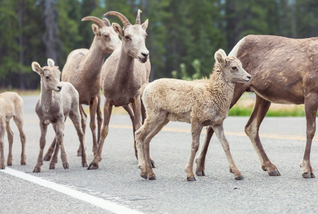
We can almost guarantee that you’ll pass cattle and wildlife on the road, especially bighorn sheep, so stick to the posted speed limits and look out for animals.
Smith Dorrien Trail
Start point: Canmore, AB
End point: The junction of Highway 742 and Highway 40 (Kananaskis Trail)
Distance: 62 km, gravel
Time: Dedicate most of a day to driving the route especially if coming from Calgary.
Suggested road stops:
- Troll Falls
- Mt. Lorette Ponds Day Use Area
- Wedge Pond Day Use Area
- Upper Kananaskis Lake Day Use Area
- Lower Kananaskis Lake
- Mount Engadine Lodge
The Smith Dorrien Trail–Spray Lakes Road gets its name from the valley it runs through (the Smith Dorrien Valley). Also known as Highway 742, the trail is a gravel road that connects the east side of the mountain town of Canmore to Highway 40 in Peter Lougheed Provincial Park.
Remember Highway 40? We mentioned it in our description of Highwood Pass. If you had the time, either by starting your drive very early in the morning or by breaking up the trip by staying overnight in one of the area’s hotels, you can combine a cruise of Highwood Pass with the Smith Dorrien Trail.
The Smith Dorrien Trail is not one that you can zip through. The rougher terrain and dust that builds up as you drive along it in dry weather, demands a slower speed. The good news is that its reputation as a non-paved road also means it’s often quieter.
Crowsnest Highway
Start point: Fort Macleod, AB
End point: Coleman, AB, or all the way to Vancouver, British Columbia, if the move strikes
Distance: ~95 km, paved
Time: 1-2 days
Suggested stops:
- The Fort Museum Of The North West Mounted Police
- Lundbruck Falls
- Leitch Collieries Provincial Historic Site
- Bellevue Underground Mine
- Frank Slide Interpretive Centre
- Burmis Tree — rumoured to be the most photographed tree in Canada.
- Crowsnest Museum & Archives
Stretching from Fort McLeod to Coleman, Alberta (or Vancouver, British Columbia, if you want to adventure out of province), the Crowsnest Highway passes along wind farms, through breathtaking mountains, and past quaint towns. Full of mining history, the route is a popular scenic drive in Southern Alberta.
Start your road trip at Fort McLoed, a charming town a couple hours south of Calgary, then explore the 95 kilometres of road ahead along Highway 3.
Visit the towns of Bellevue, Hillcrest, Blairmore, Burmis, and Coleman and stop to enjoy the area’s history, picturesque views, scenic hikes, tourism stops, and sweet shops.
The Bow Valley Parkway
Start point: Banff, AB
End point: Lake Louise, AB
Distance: 50 km, paved
Time: 1-2 hours
Suggested stops:
- Sawback Prescribed Burn
- Johnston Canyon & The Ink Pots
- Mullshoe road stop
- Storm Mountain Lookout
- Castle Lookout
- Baker Creek Mountain Resort
- Morant’s Curve – one of the most iconic spots in Banff National Park.
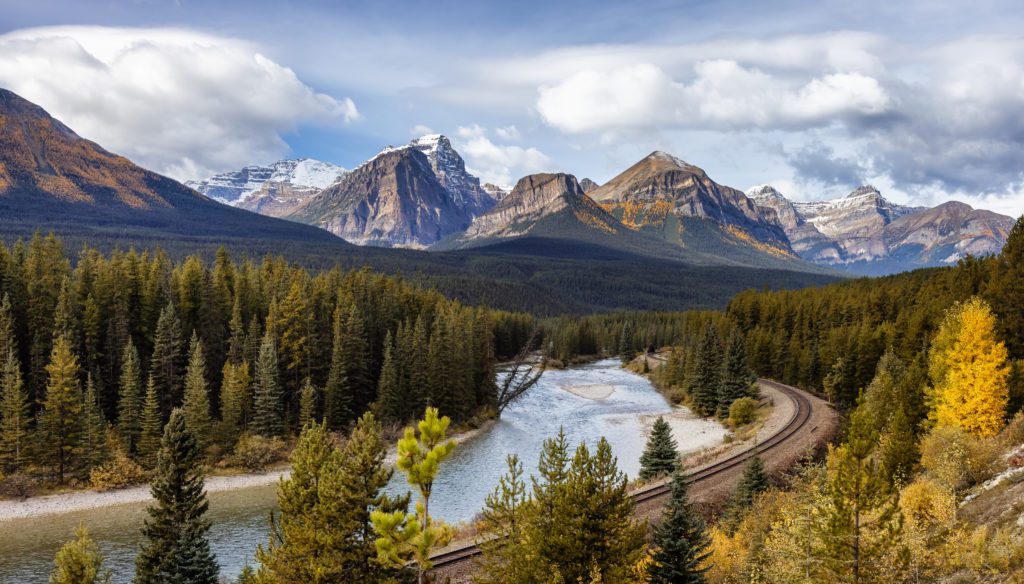
The Bow Valley Parkway (Highway 1A) offers an alternative to the Trans-Canada Highway for those traveling between Banff to Lake Louise. If you have the time, a drive along the winding parkway will inspire you with its forest-lined stretches, flower-filled meadows, ample pull-outs, and spectacular views.
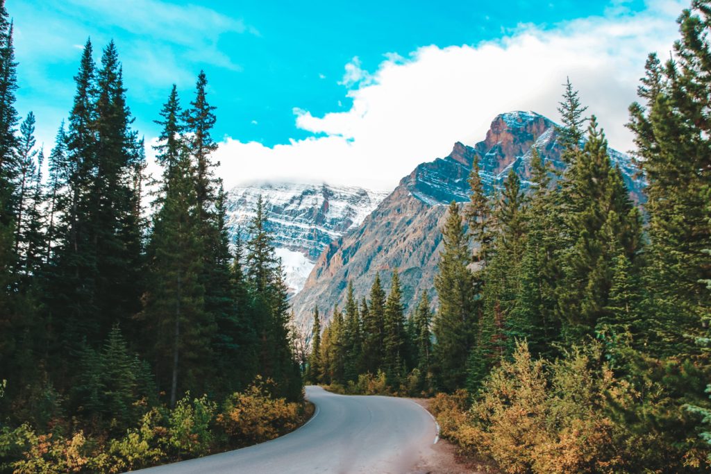
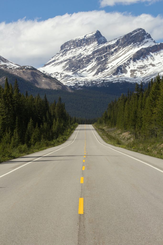
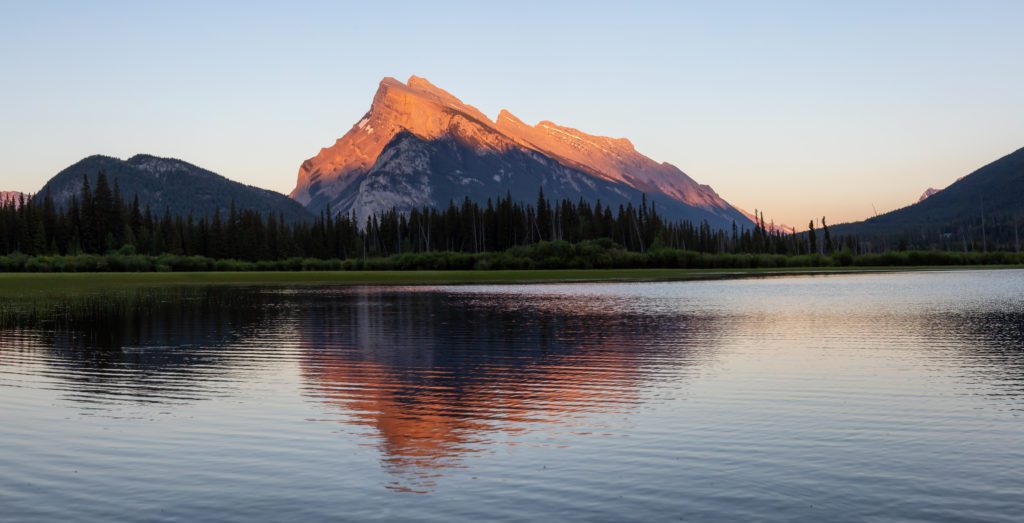
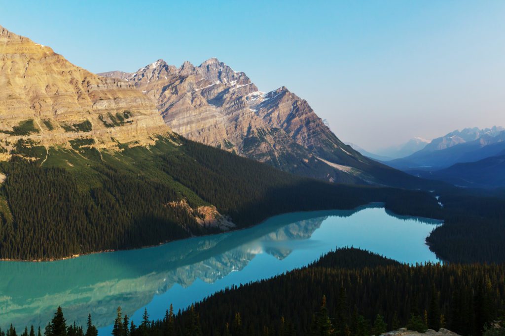
The Icefields Parkway
Start point: Lake Louise, AB
End point: Jasper, AB
Distance: 235 km, paved
Timing: 1-2 days
Suggested stops:
- Fairmont Chateau Lake Louise
- Herbert Lake
- Columbia Icefield
- Sunwapta Falls
- Glacier View Lodge
- Glacier Sky Walk
- Athabasca Glacier
- Athabasca Falls
- The Township of Jasper
- Chateau Jasper in Jasper National Park
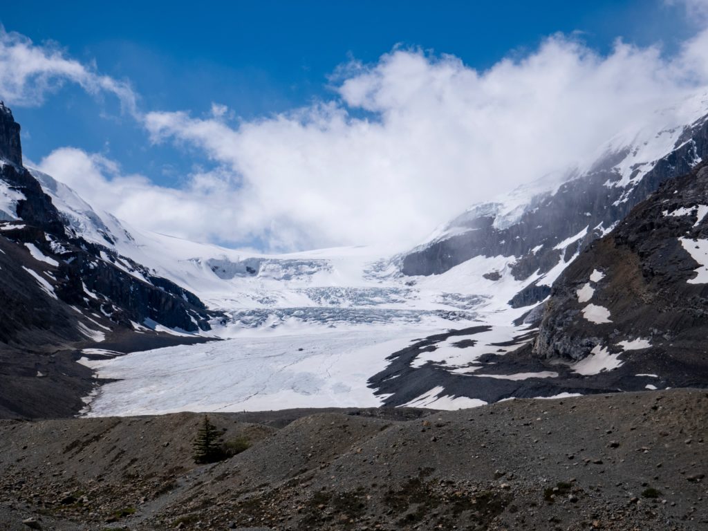
A road trip thorough the Canadian Rockies wouldn’t be complete without a drive along the Icefields Parkway.
After you drive the Bow Valley Parkway, leave the hamlet of Lake Louise behind and start along Highway 93, otherwise known as the Icefields Parkway.
We’ll warn you in advance of the fetching views you’ll take in as you drive along the route. You’ll be overtaken by the sights. The parkway’s magnificent glaciers, pristine turquoise lakes, and wildlife will take your breath away.
Make sure you bring your mobile phone and camera for this trip’s numerous photos opts.
The Boomtown Trail
Start point: Edmonton, AB
End point: Calgary, AB
Distance: 482 km
Timing: 1 day
Suggested stops:
- World’s Largest Oil Lamp
- Buffalo Lake Provincial Recreation Area
- Fort Edmonton Park
- Camrose and Camrose & District Centennial Museum
- Camrose Railway Station Museum
- Donalda Museum – and the world’s largest lamp!
- Rochon Sands Provincial Park
- Anthony Henday Museum
- World’s Largest Golf Tee
- Dry Island Buffalo Jump Provincial Park
- Fort Calgary
- Heritage Park Historical Village
- Nose Hill Park
Skip the boring Queen Elizabeth highway between Calgary and Edmonton and take the long way around instead.
The Boomtown Trail lets you bookend your trip with Southern Alberta’s rich history while also allowing you to wind through townships and provincial parks that will have you falling in love with the area.
Dinosaur Trail
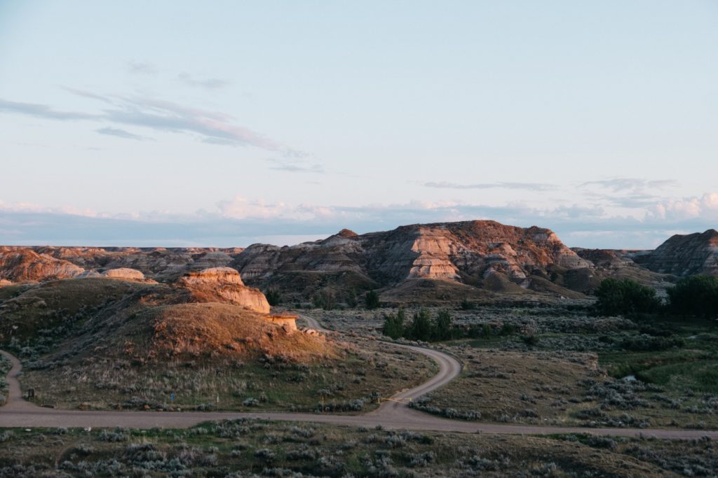
Start point: Calgary, AB
End point: Drumheller, AB
Distance: 228 km
Timing: 2-3 days
Suggested stops:
- Drumheller
- Royal Tyrell Museum of Paleontology
- Horseshoe Canyon
- Horsethief Canyon & Lookout – with views of the Drumheller Valley & Red Deer River
- Bleriot Ferry
- Orkney Lookout
- Wayne, AB – and count the 11 single-lane bridges enroute
- Hoodoos and Hoodoo Trail
- Midland Provincial Park
- Rosedale Suspension Bridge
- Last Chance Saloon
The Canadian Badlands
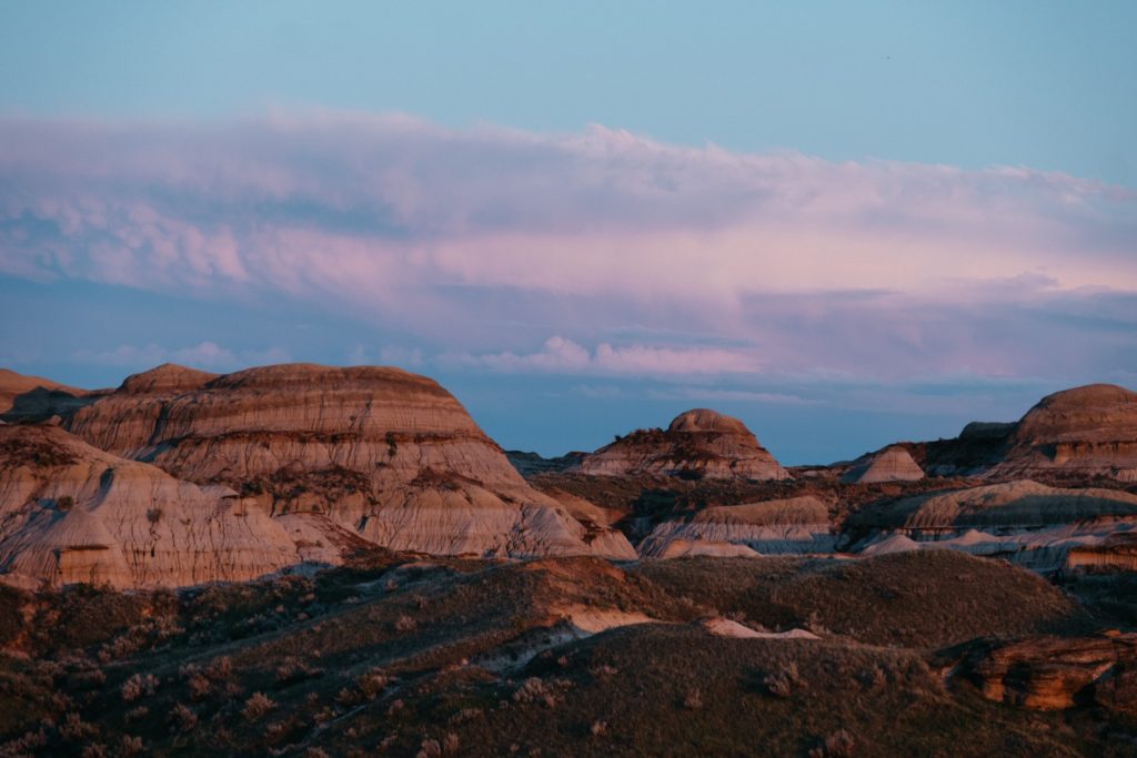
There’s no question why The Dinosaur Trail is on the list of Alberta’s best road trips. Drive 90 minutes northeast from Calgary and you’ll be transported back in time.
The Alberta Badlands speak to a time when dinosaurs roamed the land. The geologically rich landscape of strange rock formations, red rock ridges, fossil beds, coulees, and hoodoos is awe-striking.
Head to Drumheller and look for the world’s largest dinosaur. From there, you can drive or bike your way along Highway 838. Weave your way along the Red Deer River and lose yourself in the numerous sights, sounds, and views of the area.
Trans-Canada Highway
Start point: The Saskatchewan border east of Medicine Hat
End point: The British Columbia border near Lake Louise
Distance: 534 km
Timing: 2-3 days
Suggested stops:
- Cypress Hills Interprovincial Park
- Brooks Aqueduct National and Provincial Historic Site
- Crescent Heights Lookout Point (Calgary)
- Three Sisters Mountains & Three Sisters Parkway
- Canmore Nordic Centre
- Alberta’s Rocky Mountain Lecacy Trail
- Lake Minnewanka
- Vermillion Lakes
- Lake Louise
- And too many others to include here. Visit Travel Alberta for more suggested stops.
If you have the time and stamina to road trip across the entire province? If the answer is yes, may we recommend you travel Alberta from border to border on the 534 km stretch of the Trans-Canada Hwy.
Start your trip in the east near the Saskatchewan border, then navigate due west until you hit BC. The joy of this Alberta road trip is the diversity in landscape. You’ll cover the Alberta prairies, foothills, and Rocky Mountains on the same trip—and find yourself in countless spots worthy of a photo top.
Alberta’s Best Road Trip Tips
Whichever one of our list of Alberta’s road trips you choose to go on, remember these tips to make your adventure fun and headache-free:
- Texting or talking on a mobile phone while driving is against the law and subject to distracted driving legislation—don’t do it!
- When passing emergency vehicles, remember the ‘Slow Down, Move Over’ law.
- You need to purchase a park pass if you play on stopping or staying in a national park.
- Drive with extra caution in construction zones, wildlife corridors, and on busy (long) weekends.
- Wildlife or cattle on or near the highway in Alberta is a real possibility. All the more reason to stick to posted speed limits and stay focused on the road.
- The beauty of our province inevitably will lead to distractions as you drive. Best to stop to take in the views. There are enough road stops along the various routes—plus, stopping is better for photo-taking as well!
Alberta’s Best Road Trips: Where to Begin
Our list of Alberta’s best road trips will keep you exploring all summer long and take you to some of the most beautiful places in the province.
Before you head out on the highway on your next road trip, bring your ride to JD Collision so we can get it into prime shape.
Contact us today to book.
